MapMobility Washington D.C. Street Guide
Work detail
Bookitis Pick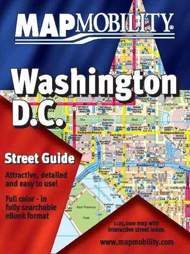 MW
MW
Image source: Open Library1 editions
The MapMobility® Washington Street Guide is a detailed, full-color street atlas covering the nation's capital, including parts of Alexandria and Arlington, Virginia. The up-to-date maps feature all streets, metro stops, points of interest, museums, government buildings, shopping areas and much more. A complete, searchable street index is included. Point-and-click navigation makes it easy to find your way. You can also print out your own personalized copy of the atlas to take with you! Anyone planning a visit to Washington will find this eBook very handy.
Overview
Shared work-level identity and catalog context.
Search language english
Contributors
People credited with this work in the active catalog.
Editions
Publication-specific versions linked to this work only.