Looking at Maps
Work detail
Bookitis Pick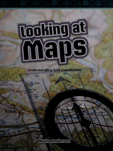 LA
LA
Image source: Open LibraryMoira Anderson1 editions
Maps show us where things are in the world with abstract pictures of what is in view. Many maps have grid coordinates that make it easier to locate where something is. A vertical grid line is known as longitude and a horizontal line is known as latitude. Symbols and keys are important parts of maps. A scale helps us know how far apart things are from each other in real life. Compasses also help us know the direction on a map. There are many different types of maps, such as street maps, tourist maps, population maps, and land-use maps.
Overview
Shared work-level identity and catalog context.
1 credited authorSearch language english
Contributors
People credited with this work in the active catalog.
- Open Author
Moira Anderson
Editions
Publication-specific versions linked to this work only.